Geology
Anddes provides geological prospecting services in support of engineering projects, applying regional and local geology techniques to geological and geotechnical subsurface investigations and geological modeling for lithological and structural characterization of geological formations.
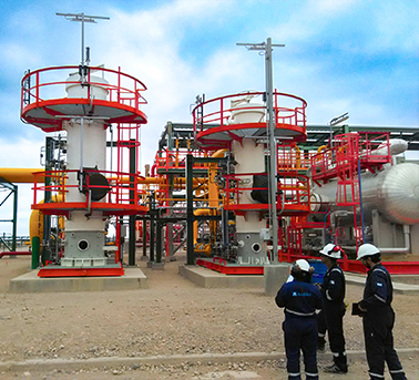
Anddes also provides supervision services for geotechnical investigations, including detailed geological mapping, geodynamic and geomorphological assessments, logging in accordance with ASTM and ISRM standards, field testing, and geotechnical and geomechanical sampling.
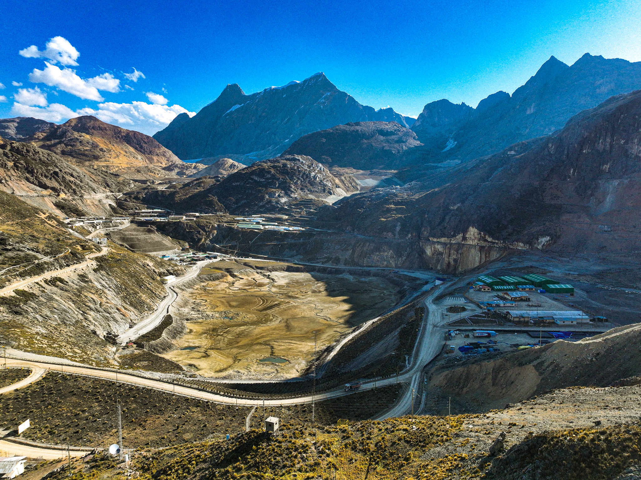
Mapping of critical zones (landslides, collapses, and subsidence) and identification of external geodynamic hazards
Mapping of external geodynamic processes, identification of active geodynamic zones, and geomorphological mapping
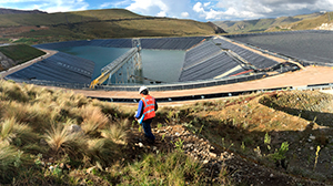
Design, installation, and monitoring of inclinometers, vibrating wire piezometers, hydraulic piezometers, settlement cells, extensometers, and telemetry systems
- Supervision of diamond, RC, sonic, and tricone drilling
- Geological and geotechnical logging
- Supervision of SPT, LPT, CPT, and Shelby tube sampling
- Supervision of permeability testing (Lefranc and Lugeon tests)
- Identification, evaluation, and characterization of quarries
- Supervision of oriented drilling and QC/QA of oriented geotechnical logging
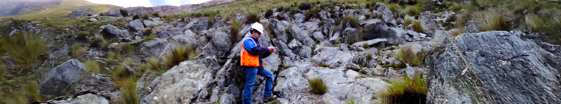
- Geological mapping
- Alteration mapping
- Geological–geotechnical mapping
- Structural mapping (discontinuities)
- Quarry mapping
- Mapping of the fractured or broken arch in tunnels