Lucio Calace
Project Management Manager

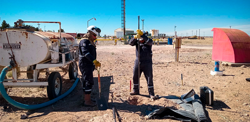
Client: TGS
Neuquén, Argentina
We conducted a comprehensive hydrological risk assessment along an alignment of approximately 400 km in length. The service included the identification and prioritization of critical points through hydrological modeling and Geographic Information System (GIS) tools. This analysis enabled the optimization of strategic planning and helped guide future protection works for water infrastructure.