In this interview with José Hinojosa, Head of Geology at Anddes Peru, we explore his experience in mining projects, highlighting the importance of geology in the success of these projects. Hinojosa shares his approaches to identifying and mitigating geological hazards, ensuring compliance with environmental regulations, and sustainability in the mining industry. He also discusses the impact of innovative geological technology on the evolution of the industry.
Could you share experiences about your participation in mining exploration projects and describe how your geological expertise was crucial to the success of the project?
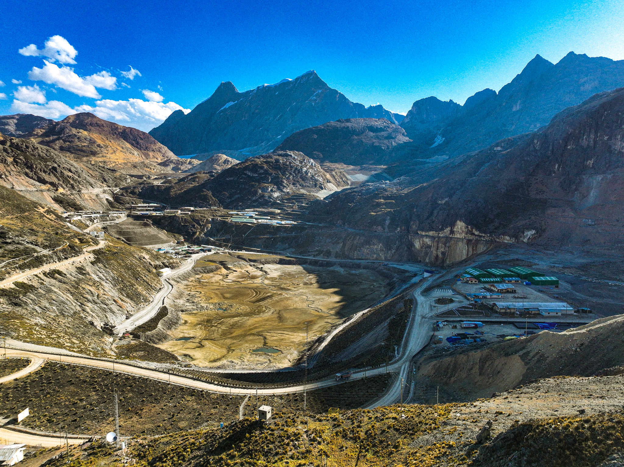
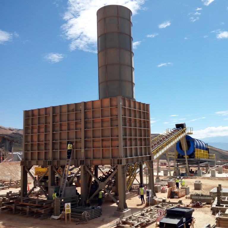
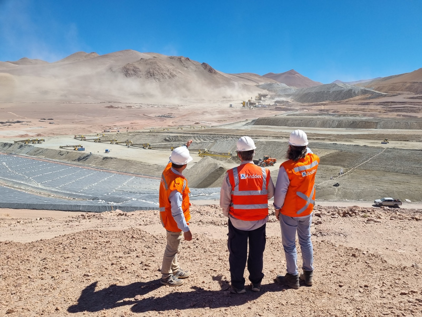
I had the opportunity to participate in numerous mining projects, including Mina Justa, where I carried out geological mapping, identifying and interpreting relevant structures. I also developed the characterization of the covering materials, which is a vital piece for the foundation of components and future designs. Throughout my career, I can consider that geological exploration contributes to the development of the project, since they need the geological evaluation to find the site conditions that meet the objective of the project and are viable over time.
What is your approach to identifying and mitigating geological hazards in mining projects, such as geotechnical faults or ground stability problems?
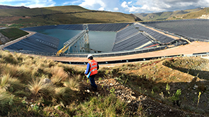
Throughout history, geological hazards have coexisted with humans. Talking about geological hazards leads us to think about their nature, at which point geological science has recorded a lot of information with a view to developing mitigation strategies. The main guidelines for diagnosing geological hazards are: area of influence, geological conditions, event history, elements of exposure (social, economic and environmental) and aspects of susceptibility (conditioning and triggering factors). These guidelines will allow the assessment of the geological hazard and then propose mitigation alternatives.
Man must understand, analyze and design mitigation barriers to harmonize his existence with nature. A better understanding of these processes will help to plan and develop engineering works to contain these hazards.
Taking geological faults as a reference, I believe that it should be identified if it is related to an active geodynamics and in turn must meet certain requirements such as: fault dimension, event history, geological condition, susceptibility and elements of exposure. After having concluded the diagnosis, mitigation plans will be proposed in order to eliminate the danger.
Likewise, in the case of soil stability problems, the diagnosis should be applied considering the aforementioned guidelines.
Finally, to identify a geological hazard, the factor of greatest incidence that acts on the geological process must be determined and, based on this, propose mitigation alternatives.
How do you ensure that the mining projects in which you participate are aligned with environmental and sustainability regulations, considering the specific geological aspects of the environment?
In my opinion, regarding projects and environmental sustainability, I consider three aspects: external geodynamics, geomorphology, and man. In nature, there have always been geological forces that build and others that destroy or model, both constantly interacting, preserving the natural balance. Currently, man must develop projects respecting the balance and understanding its dynamics. Environmental Impact studies consider geology as a tool to understand and preserve the balance of natural forces.
Could you discuss how technology and innovative geological tools have impacted the mining industry in recent years?
Over the years, geological studies have required the observation and collection of data from geological structures and cover deposits in order to have a better understanding of the physical, chemical, and biological processes that have occurred throughout geological time. Although many analytical methods and techniques used to complement studies have evolved enormously, most of the techniques used in field geology have not changed in many years. Even at the beginning of this millennium, the most common field tools were the map, notebook, compass, pick and magnifying glass.
Currently, there are several electronic devices that allow geological field data to be taken and stored very efficiently. These instruments include laptops, tablets, and smartphones. Both tablets and smartphones are very convenient for taking scientific data due to the diversity of sensors they present, portability, autonomy, and the possibility of installing specific applications.
In fieldwork, I believe that observation is the primary role that every geologist should perform, supported by images and sample collection. The interpretation of these elements is used to create a geological model. This role has not changed in several years, as observation and interpretation are a fundamental part of the geological sciences. The change that is currently occurring is how field data is collected and processed; however, there is still no technology that replaces the observation and interpretation performed by the geologist.